就是想显示出来接收器当前的位置,后端是一个树莓派,使用串口和EC20通讯获取GPS数据。
<!DOCTYPE html>
<html>
<head>
	<meta http-equiv="Content-Type" content="text/html; charset=utf-8" />
	<meta name="viewport" content="initial-scale=1.0, user-scalable=no" />
	<style type="text/css">
		body, html,#allmap {width: 100%;height: 100%;overflow: hidden;margin:0;font-family:"微软雅黑";}
	</style>
	<script type="text/javascript" src="//api.map.baidu.com/api?type=webgl&v=1.0&ak=【API_KEY】"></script>
	<script src="https://apps.bdimg.com/libs/jquery/2.1.4/jquery.min.js"></script>
	<title>地图展示</title>
</head>
<body>
	<div id="allmap"></div>
</body>
</html>
<script type="text/javascript">
	// 百度地图API功能-Init
	var map = new BMapGL.Map("allmap");
	$.getJSON('http://192.168.1.106:8888/gps', function(data){
				var point = new BMapGL.Point(data.longi, data.lati);
				map.centerAndZoom(point, 15);
				});

	function refresh_gps(){
		$.getJSON('http://192.168.1.106:8888/gps', function(data){
			console.log(data);
			var json = data;
			// 创建小车图标
			var pt = new BMapGL.Point(json.longi, json.lati);
			var myIcon = new BMapGL.Icon("car.png", new BMapGL.Size(40, 20));
			var marker = new BMapGL.Marker(pt, {icon: myIcon});  // 创建标注
			map.addOverlay(marker);              // 将标注添加到地图中
	    })
		var httpRequest = new XMLHttpRequest();//第一步:创建需要的对象
		httpRequest.open('POST', '', true); //第二步:打开连接/***发送json格式文件必须设置请求头 ;如下 - */
		httpRequest.setRequestHeader("Content-type","application/json");//设置请求头 注:post方式必须设置请求头(在建立连接后设置请求头)

		//var obj = { gps: 1 };
		//httpRequest.send(JSON.stringify(obj));//发送请求 将json写入send中
		httpRequest.send();
		httpRequest.onreadystatechange = function () {//请求后的回调接口,可将请求成功后要执行的程序写在其中
			if (httpRequest.readyState == 4 && httpRequest.status == 200) {//验证请求是否发送成功

				}
		};

	}

	setInterval(refresh_gps, 1000);

</script>
再放一个标志图在IIS目录下
![]()
这里有个问题,EC20直接出来的坐标并不是百度地图的坐标,两个的体系标准不一样。需要在使用百度地图的API去进行坐标转换。随便写了一个小程序,使用python使用串口通讯,获取GPS信息。同时也是一个简易的com terminal
from flask import request, Flask, jsonify, Response
app = Flask(__name__)
app.config['JSON_AS_ASCII'] = False
@app.route('/gps', methods=['GET'])
def post_Data():
global lati, longi
recognize_info = {"lati": lati, "longi": longi}
headers = {'Access-Control-Allow-Origin': '*'}
return jsonify(recognize_info), 200, headers
# -*- coding:utf-8 -*-
import serial
import time
import threading
import sys
import re
import requests
import json
SERIAL_COMMAND = "/dev/ttyUSB2"
SERIAL_GPSDATA = "/dev/ttyUSB1"
ser_cmd = serial.Serial(SERIAL_COMMAND, 115200)
ser_gps = serial.Serial(SERIAL_GPSDATA, 115200)
ser_cmd.flushInput()
ser_gps.flushInput()
def main_recv_cmd():
while True:
count = ser_cmd.inWaiting() # 位置4
if count != 0:
recv = ser_cmd.read(count) # 位置5
print(recv)
ser_cmd.flushInput()
time.sleep(0.1) # 位置8
def main_recv_gps():
while True:
count = ser_gps.inWaiting() # 位置4
if count != 0:
recv = ser_gps.read(count) # 位置5
result = re.findall(r"$GPGGA,.*rn", recv.decode('ascii')) # only show GPGGA
if len(result) != 0:
result = result[0]
result = result.split(',')
if len(result[2]) != 0:
global lati, longi
_lati = int(result[2][:2]) + float(result[2][2:]) / 60
_longi = int(result[4][:3]) + float(result[4][3:]) / 60
_lati = _lati if "N" in result[3] else _lati * -1
_longi = _longi if "E" in result[5] else _longi * -1
print("[Raw] - 纬度:%s , 经度:%s , 可用卫星数:%s" % (_lati, _longi, result[7]))
try:
r = requests.get(url="http://api.map.baidu.com/geoconv/v1/?coords=%s,%s&from=1&to=5&ak=【API_KEY】" % (_longi, _lati))
xy = json.loads(r.content.decode('utf-8'))["result"][0]
print("[Baidu] - 纬度:%s , 经度:%s" % (xy["y"], xy["x"]))
lati, longi = xy["y"], xy["x"]
except:
print("Convert to Baidu Coordination failed! Check the Internet connection!")
pass
else:
print("正在搜星定位,三分钟内无法定位请检查天线...")
else:
print("Something went odd.")
ser_gps.flushInput()
time.sleep(0.1) # 位置8
def main_send():
while True:
command = input()
command = command.encode('ascii') + b'rn'
ser_cmd.write(command)
if __name__ == '__main__':
th1 = threading.Thread(target=main_recv_cmd)
th1.start()
th3 = threading.Thread(target=main_recv_gps)
th3.start()
th2 = threading.Thread(target=main_send)
th2.start()
lati, longi = 0, 0
app.run(debug=False, host='0.0.0.0', port=8888)
th1.join()
th2.join()
th3.join()
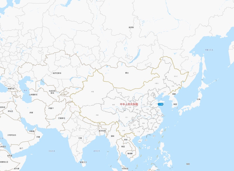
print("Terminated!")结果图:

如果不更换坐标系,会偏差一公里左右。
最后
以上就是内向康乃馨最近收集整理的关于EC20 GPS模块 百度地图的全部内容,更多相关EC20内容请搜索靠谱客的其他文章。
本图文内容来源于网友提供,作为学习参考使用,或来自网络收集整理,版权属于原作者所有。


发表评论 取消回复